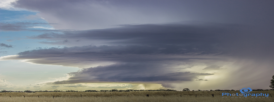
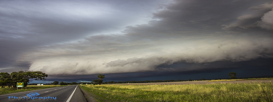
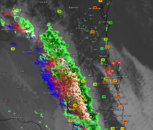
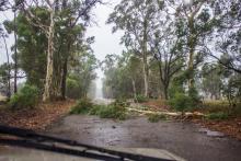
**Rain brings renewed flood warnings**
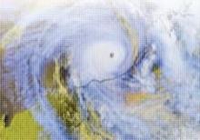
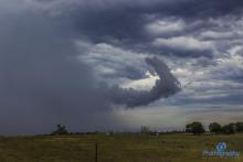
The Australian Government Bureau of Meteorology has again issued flood watches for Tasmania, Victoria, and flood warnings for parts of Queensland and New South Wales.
A combination of fronts this week will see rain fall on already saturated ground, one moving over Monday in to Tuesday and again later in the week Thursday to Friday.