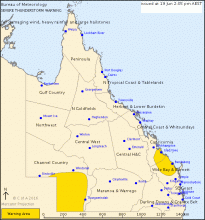
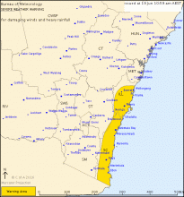
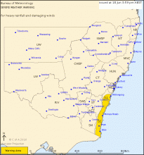
TOP PRIORITY FOR IMMEDIATE BROADCAST
SEVERE THUNDERSTORM WARNING
for DAMAGING WIND, HEAVY RAINFALL and LARGE HAILSTONES
For people in parts of the
Channel Country,
Capricornia and
Wide Bay and Burnett Forecast Districts.
Issued at 2:05 pm Sunday, 19 June 2016.
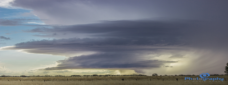
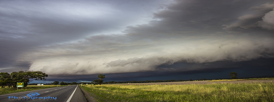
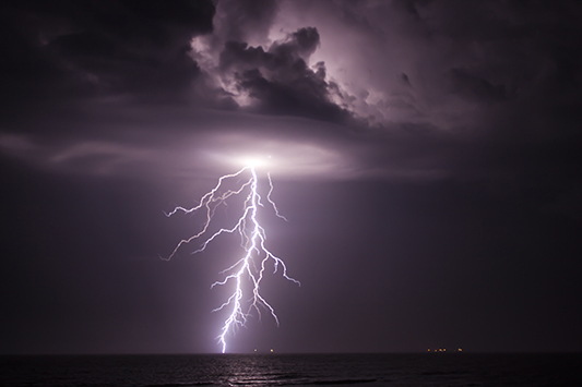
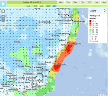
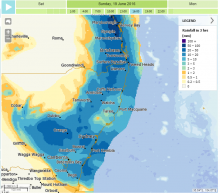
Severe thunderstorms are likely to produce damaging winds, large hailstones and abundance of smaller hail in the warning area over the next several hours. Locations which may be affected include Bulloo Downs, Eromanga, Mount Margaret, Mt Howitt Station, Orientos and Ballera.