You are here
Rain Event Update - 20/04/14

Good Morning,
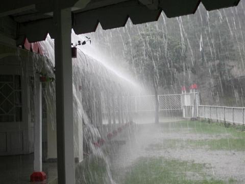
At time of writing the BOM (Bureau of Meteorology) has a Severe Weather Warning in place for the Metropolitan, Hunter and Illawarra forecast districts as we can expect wind of 55 to 65 km/h with gusts to about 100 km/h to develop along the coast throughout the course of the day. So keep them trampolines and other object secure and to minimise the work load for our SES and other emergency service which no doubt we will be called to local flooding caused by this event.
Speaking of flooding the BOM has also issued a Flood Watch which is a "heads up" for potential flooding for a greater than 70% chance of flooding in the following river valleys from early Tuesday morning onwards:
1. Manning Valley - including Gloucester - minor to moderate flooding
2. Karuah Valley - including Bulahdelah - minor to moderate flooding
3. Hunter Valley - including Scone - minor to moderate flooding
4. Paterson and Williams Rivers (lower Hunter Valley) - moderate to major flooding
5. Lake Macquarie - minor flooding
6. Wyong Valley - Tuggerah Lake - minor flooding
7. Lower Hawkesbury Valley - Colo River - minor to moderate flooding
Since 9am Ulladulla on the NSW South Coast has received nearly 20mm to 11am/or time of writing.
Montague Island has been receiving wind gusts of 70km/h as has Bellambi in the Illawarra.
A cold pool of air may trigger thunderstorms over north-east NSW, where they may be severe bringing the risk of damaging winds and very heavy rainfall leading to flash flooding.
I will have another update later today.
For emergency help in floods and storms, call your local SES on 132 500.