You are here
Cold, Wet & Windy Ahead

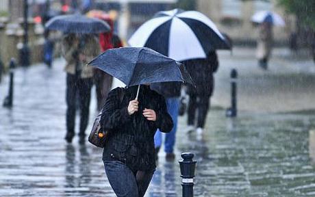
Friday 17/04/15 - Rain Update
Thanks to a north west cloud band, heavy rain fall is now moving through from South Australia and in to Victoria as well as South Western NSW.
In Western NSW some places have already picked up 15mm+ which will be accepted with open arms from farmers out west, This will continue through much of Friday and in to Saturday morning however the band will edge further east and mainly be focused around the coast come Sunday/Monday where the NSW Coast and QLD Coast will pick up quite a bit of rain activity with 50mm+ expected in some areas.
There is a potential for some scatter thunderstorms over the weekend associated with this trough.
Part of this cloud band in expected also to drift in to western QLD on Saturday. A Cold front will bring more rain for South Australia on Saturday as well as parts of Victoria and Tasmania, Again another 10-25mm expected with this.
As this Cold front moves through it expected to bring some snow falls to snowies and highland down to around 1300 meters, possibly even lower.
An ECL (East Coast Low) is expected to form Tuesday/Wednesday somewhere around the Mid North Coast of NSW however these are very hard to predict where they will form and will continue to generate shower/rain activity for the NSW and QLD coasts.
By late Tuesday and in to Wednesday we are going to see a large high pressure system will bring settled conditions over SA, TAS, VIC and inland NSW.
In summary there is some welcome if shortly lived rain for inland NSW and parts of South Australia and Vic where it is much need while the NSW & QLD coasts look to get quite a sokeing. Brisk cold winds are really going to bring that winter fell by Sunday.
We will continue to monitor over the weekend. Have a great Friday!